
Cycle maps
Journey planners
To plan your journey by bike, try the following websites:
- CycleStreets for desktops or CycleStreets for mobile devices
- GoogleMaps
- OpenCycleMap
- Sustrans NCN Map
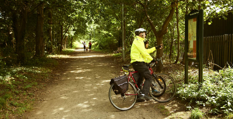
Local cycle maps
Audlem online
Crewe smarter ways to travel map
Crewe to Nantwich greenway
CycleWilmslow cycle map
Knutsford cycle map
- Knutsford cycle map 2019 – Knutsford Town Council
Macclesfield Urban Cycle Routes
Manchester Airport
PDF accessibility
The PDF documents on this page may not be fully accessible to screen reader technology due to the map content. If you require them in an alternative format please email webteam@cheshireeast.gov.uk.